We offer several boundaries of statistical areas and statistical grids in three sizes as geographic data.
Statistical areas

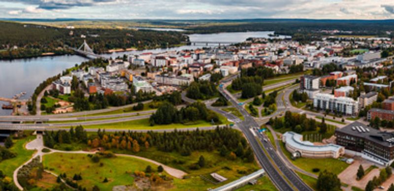
Municipality-based statistical units
Geographic data
Most detailed area level: Municipality
By means of geographic data you can view municipality-based statistical areas on a map or download them from the interface for use.
Grid net for statistics 5 km x 5 km
Geographic data
Most detailed area level: Statistical grid cell
Grid net for statistics 5 km x 5 km covers whole of Finland. The grid net includes all grid cells in Finland.
Grid net for statistics 1 km x 1 km
Geographic data
Most detailed area level: Statistical grid cell
Grid net for statistics 1 km x 1 km covers whole of Finland. The grid net includes all grid cells in Finland.

Grid net for statistics 250 m x 250 m
Geographic data
Most detailed area level: Statistical grid cell
Grid net for statistics 250 m x 250 m covers whole of Finland. The grid net includes all grid cells in Finland.